
Britain could face a fresh dusting of snow this weekend in the wake of Storm Gareth.
The Met Office issued “severe” yellow warnings for wind for most of England and Wales and a heavy rain for parts of North West England.
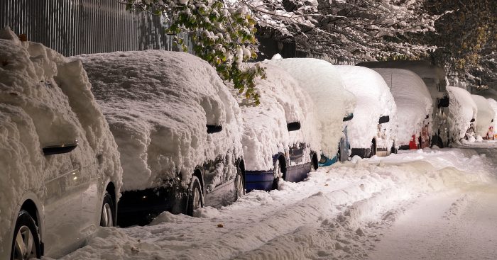
The weather service has now said snow is likely over northern hills and could spread to lower levels.
It’s important to us that you never miss our articles when searching for stories! We have all the latest TV & Celebrity news to share with our community of loyal readers.
Click here and tick Entertainmentdaily.com

Read more: WEATHER WARNING: Arctic blast headed for Britain in month-long big freeze
Brits have been warned that Storm Gareth could cause travel disruption as brutal downpours and 90mph winds are set to hit the country.
The Met Office warned stormy conditions will continue over the next few days and snow over northern hills could spread to lower levels.
Thursday is set to start off cloudy, wet and windy in many places and cloud, rain and strong winds will move in from the west through the evening with heavy rain over western hills.
Gales are also possible in the west and over hills.
Moving into Friday, blustery showers will continue and skies will be cloudier in parts of Wales and southern England with outbreaks of rain.
A yellow warning for #wind has been issued for this morning and early afternoon. Stay #weatheraware 🌬️ https://t.co/5KiKCJQkGK pic.twitter.com/byntQevEwT
— Met Office (@metoffice) 14 March 2019
Over the weekend, rain will spread north with snow over northern hills and possibly spread to lower levels.
It will be very windy in the south, however, less windy on Sunday with sunshine and scattered showers.
Monday (March 18) will dry for many with only “isolated showers”.
However, from Tuesday (March 19), further spells of wet and windy weather are expected, mostly in the north.
The Met Office says unsettled conditions will become increasingly confined to the north and northwest towards the end of the month.
A yellow severe weather warning for #wind has been issued https://t.co/QwDLMfRBfs Stay #weatheraware @metofficeuk pic.twitter.com/LIfQJTl2ii
— Met Office (@metoffice) 14 March 2019
Read more: Storm Gareth upgraded to ‘mega-storm’ as Britain braces for snow and blizzards
“The wettest and windiest weather will always be most likely in the northwest, with the driest conditions for the south and southeast,” the Met Office said.
Wednesday (March 20) is the first day of spring, however, parts of the north will see snow again.
It comes after it was said the storm has doubled into a 2000-mile wide mega-storm in the last 24 hours.
The Met Office is also warning people about fallen trees, flying debris and travel disruption.
What are the weather conditions like where you live? Leave us a comment on our Facebook page @EntertainmentDailyFix and let us know.